- -15%


Search here...
Find Your Way In This Big, Wide World

Find Your Way In This Big, Wide World
The price has not been reduced in the last 30 days. The recommended price is set by the manufacturer and is shown for reference only.

FREE SHIPPING IN ITALY FROM 129,99 EUROS*

100% SECURE CHECKOUT

N.1 in Italy in the Bike and E-Bike Shops
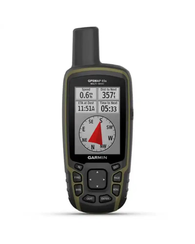
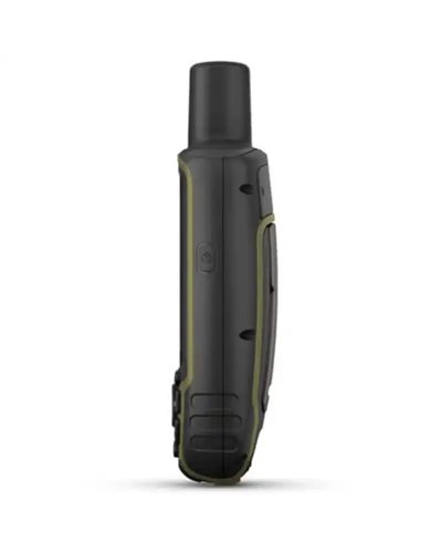
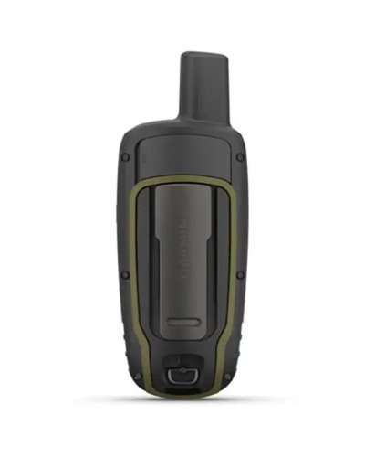
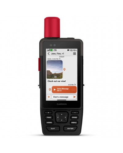
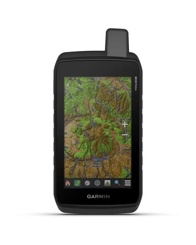
Explore more with this rugged handheld that offers optimal tracking accuracy, a 2.6-inch colour display and preloaded maps.
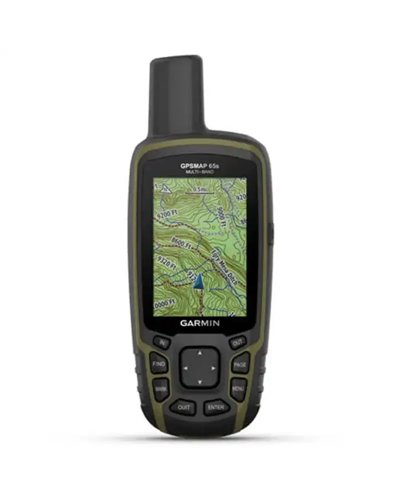
• Don’t miss a detail with this large, sunlight-readable colour display.
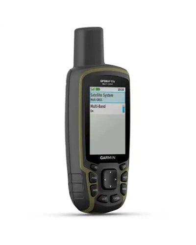
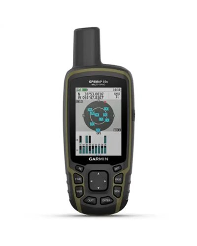
• Lead the way in challenging locations with multi-band technology and expanded GNSS satellite support.
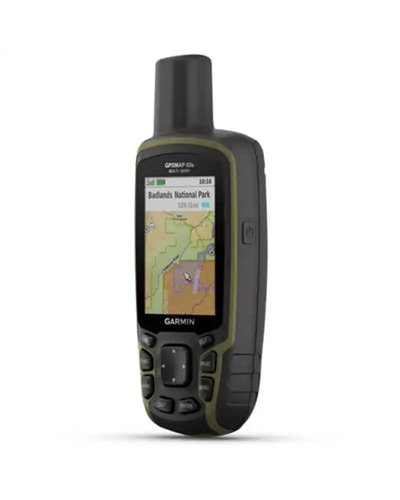
• Cross the countryside with routable TopoActive Europe maps.
• Plot your next move with built-in navigation sensors.
• Organise your adventure from anywhere with the Garmin Explore™ website and app1.
• Travel with up to 16 hours of battery life in GPS mode.
SPECS
GENERAL
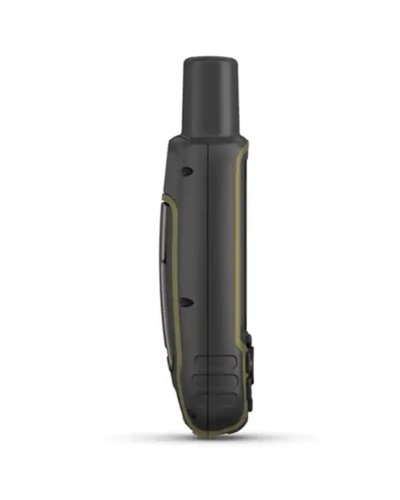
DIMENSION: 6.1 x 16.0 x 3.6 cm
DISPLAY SIZE: 3.6 x 5.5 cm; 2.6-inch diagonal (6.6 cm)
DISPLAY RESOLUTION: 160 x 240 pixels
DISPLAY TYPE: Transflective, 65K colour TFT
WEIGHT: 217 g with batteries
WATER RATING: IPX7
BATTERY TYPE: 2 AA batteries (not included); NiMH or Lithium recommended
BATTERY LIFE: 16 hours
INTERFACE: High-speed mini USB and NMEA 0183 compatible
MEMORY/HISTORY: 16 GB (user space varies based on included mapping)
MAPS & MEMORY
PRELOADED MAPS: Yes (TopoActive Europe; routable)
ABILITY TO ADD MAPS: Yes
BASEMAP: Yes
AUTOMATIC ROUTING (TURN BY TURN ROUTING ON ROADS) FOR OUTDOOR ACTIVITIES: Yes
MAP SEGMENTS: 3,000
SATELLITE IMAGERY: 250 BirdsEye Imagery files
INCLUDES DETAILED HYDROGRAPHIC FEATURES (COASTLINES, LAKE/RIVER SHORELINES, WETLANDS AND PERENNIAL AND SEASONAL STREAMS): Yes
INCLUDES SEARCHABLE POINTS OF INTERESTS (PARKS, CAMPGROUNDS, SCENIC LOOKOUTS AND PICNIC SITES): Yes
DISPLAYS NATIONAL, STATE AND LOCAL PARKS, FORESTS, AND WILDERNESS AREAS: Yes
STORAGE AND POWER CAPACITY: Yes (32 GB max microSD™ card)
WAYPOINTS/FAVOURITES/LOCATIONS: 5,000
TRACKS: 200
NAVIGATION TRACK LOG: 10,000 points, 200 saved tracks
NAVIGATION ROUTES: 200, 250 points per route; 50 points auto routing
SENSORS
HIGH-SENSITIVITY RECEIVER: Yes
GPS: Yes
GLONASS: Yes
GALILEO: Yes
QZSS: Yes
BAROMETRIC ALTIMETER: Yes
COMPASS: Yes (tilt-compensated 3-axis)
GPS COMPASS (WHILE MOVING): Yes
MULTI-BAND FREQUENCY: Yes
DAILY SMART FEATURES
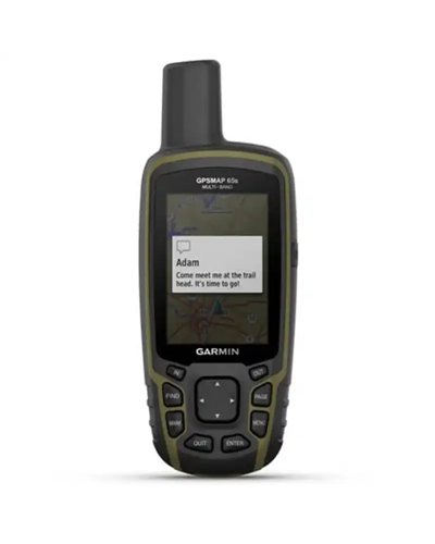
SMART NOTIFICATIONS ON HANDHELD: Yes
VIRB® CAMERA REMOTE: Yes
COMPATIBLE WITH GARMIN CONNECT™ MOBILE: Yes
OUTDOOR RECREATION FEATURES
POINT-TO-POINT NAVIGATION: Yes
AREA CALCULATION: Yes
HUNT/FISH CALENDAR: Yes
SUN AND MOON INFORMATION: Yes
GEOCACHING-FRIENDLY: Yes (paperless)
CUSTOM MAPS COMPATIBLE: Yes (500 custom map tiles)
PICTURE VIEWER: Yes
OUTDOOR APPLICATIONS
COMPATIBLE WITH GARMIN EXPLORE™ APP: Yes
GARMIN EXPLORE WEBSITE COMPATIBLE: Yes
CONNECTIONS
CONNECTIONS WIRELESS CONNECTIVITY: Yes - Bluetooth®, ANT+®
IN THE BOX
GPSMAP 65s
USB cable
Carabiner clip
Documentation
Data sheet
No customer reviews for the moment.

Hiker seeking precise navigation
Designed for users who need GPS in areas with poor reception and want expanded GNSS support, multiband GPS and preloaded TopoActive Europe maps.
Outdoor user who wants elevation and orientation data
Suitable for reading altitude, weather and direction in the field thanks to ABC sensors, the barometric altimeter and the 3-axis electronic compass.
Anyone planning trips and tracks with a smartphone
Suitable for users who synchronise waypoints, routes and tracks with Garmin Explore™ and receive smart notifications from a compatible smartphone.
Ideal
Trips on trails and in remote areas
Multiband GPS and expanded GNSS satellite support help with navigation where signal is more difficult to obtain. Preloaded TopoActive Europe maps cover road networks and trails.
GPS multibanda · GNSS ampliato · Mappe TopoActive Europe
Very suitable
Navigation with altitude, compass and weather
ABC sensors integrate an altimeter, barometer and 3-axis electronic compass. These are useful for reading altitude, orientation and weather changes during activity.
Sensori ABC · Altimetro barometrico · Bussola a 3 assi
Suitable
Sync with apps and notifications
Compatibility with Garmin Connect™ Mobile and Garmin Explore™ makes it possible to manage tracks, waypoints and routes, while smart notifications are delivered to the device when paired with a compatible smartphone.
Garmin Connect™ Mobile · Garmin Explore™ · Smart notification
Hiker and outdoor user
User who works with tracks and waypoints
It supports multiband GPS and expanded GNSS satellite support, with GPS, GLONASS, Galileo, QZSS and IRNSS. This is intended to provide more stable accuracy in cities, in obstructed areas and in open spaces.
The stated battery life is 16 hours in GPS mode. This is useful for long outings and full days away from home.
Yes, it is compatible with a compatible smartphone, Garmin Connect™ Mobile and Garmin Explore™. It allows notifications to be received and waypoints, tracks and routes to be synchronised.
It includes preloaded TopoActive Europe maps and additional cartography. The maps show road networks, trails, waterways and searchable points of interest.
It has IPX7 certification. This indicates water protection for outdoor use in wet conditions.
Information prepared by the BSA team with the support of AI, based on the manufacturer's specifications.